Top 20 NuGet map Packages
Please upgrade to version 12 (Search ThinkGeo.Core on NuGet) if possible. Version 12 works with both .NET Framework and .NET Core, has much less dependencies and many other benifits over 10.0. Regex Style is included in the main package ThinkGeo.Core in Version 12.
ThinkGeo.MapSuite.Styles.Reg...
Please upgrade to version 12 (Search ThinkGeo.Core on NuGet) if possible. Version 12 works with both .NET Framework and .NET Core, has much less dependencies and many other benifits over 10.0. WellPoint Style is included in the main package ThinkGeo.Core in Version 12.
ThinkGeo.MapSuite.Styles...
ThinkGeo.MapSuite.Styles.WorldStreets is based on .NET Framework. It is a style extension to the Map Suite product line, see below for compatibility. It is a pre-defined style in MapSuite containing WorldStreetsAreaStyles, WorldStreetsLineStyles, WorldStreetsPointStyles and WorldStreetsTextStyles.
...

A library to build up the infrastructure of the entire MapKit product line. It lets .NET developers add spatial data analysis, map rendering, spatial functions, projections and more. And also supports developing and running on Linux with Mono or .NET Core with the same core features.
* Important No...

Please upgrade to version 12 (Search ThinkGeo.Core on NuGet) if possible. Version 12 works with both .NET Framework and .NET Core, has much less dependencies and many other benifits over 10.0. ArcGISServerRest Layer is included in the main package ThinkGeo.Core in Version 12.
The ArcGIS Server R...
Toolbox for the agile development of .Net Web Api projects.

Convert Source Map (convert-source-map) binding library for Bridge.NET projects.
Source Map Support (source-map-support) binding library for Bridge.NET projects.
Please upgrade to version 12 (Search ThinkGeo.Core on NuGet) if possible. Version 12 works with both .NET Framework and .NET Core, has much less dependencies and many other benifits over 10.0. OsmBuilding Layer is included in the main package ThinkGeo.Core in Version 12.
ThinkGeo.MapSuite.Lay...
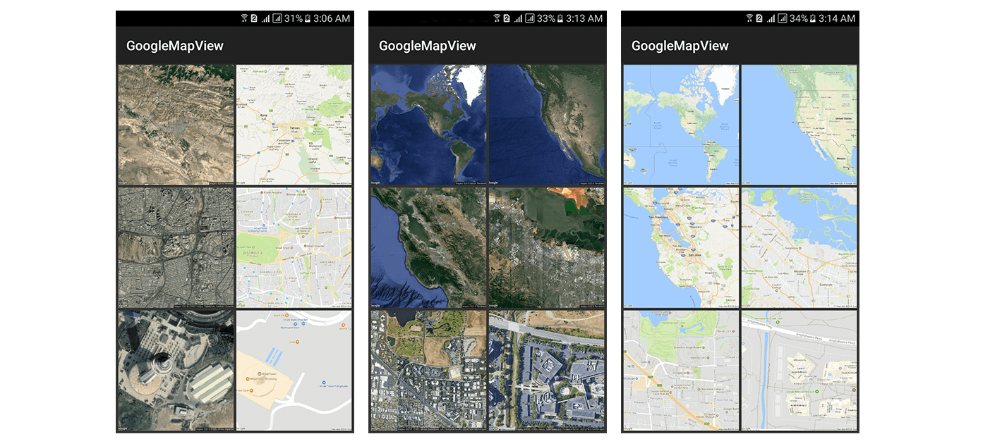
An Android library to make the map display process easier by entering latitude and longitude only.
.Net library to handle updating entities at the field level

A Xamarin wrapper around Google Map APIs for Droid
Please upgrade to version 12 (Search ThinkGeo.Core on NuGet) if possible. Version 12 works with both .NET Framework and .NET Core, has much less dependencies and many other benifits over 10.0. ThinkGeoCloudMaps Layer is included in the main package ThinkGeo.Core in Version 12.
ThinkGeo.MapSui...
Please upgrade to version 12 (Search ThinkGeo.Core on NuGet) if possible. Version 12 works with both .NET Framework and .NET Core, has much less dependencies and many other benifits over 10.0. MBTiles data is supported in the main package ThinkGeo.Core in Version 12.
ThinkGeo.MapSuite.Layers.T...
An object model for the Google Site Map 0.9 standard providing strongly typed classes that can be serialized/deserializsed to XML.

Adds the ability for a content editor to capture a latitude/longitude value by clicking a location on a map.
GMap.NET Windows Forms & Presentation is an excellent open source, powerful, free and cross-platform .NET control. Allows the use of routing, geocoding, directions and maps from Google, Yahoo!, Bing, OpenStreetMap, ArcGIS, Pergo, SigPac, Yendux, Mapy.cz, Maps.lt, iKarte.lv, NearMap, HereMap, CloudMa...